Technology should make life easier not harder
We help connect the dots between sound technology and real-world problems.


Collected data should have a use. That's why we start by asking what you want to accomplish.

Everyone likes their reports certain ways. We respect the current processes and build out reports for your needs.

Sustainability can be daunting especially when you are making decisions without the right information. We will help you assemble your data into a format that works for you to make sound decisions.


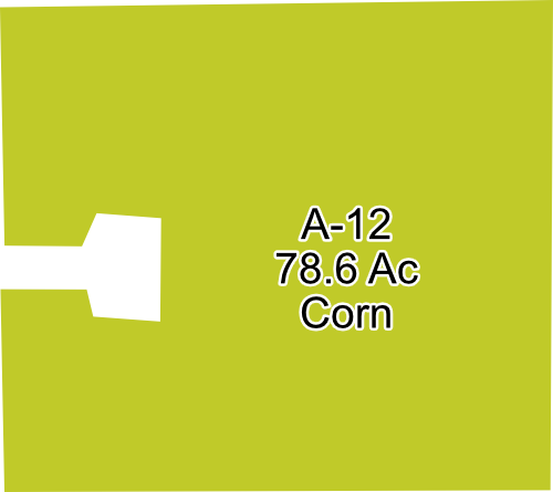
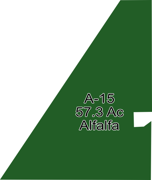
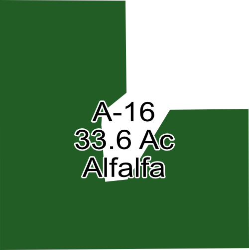
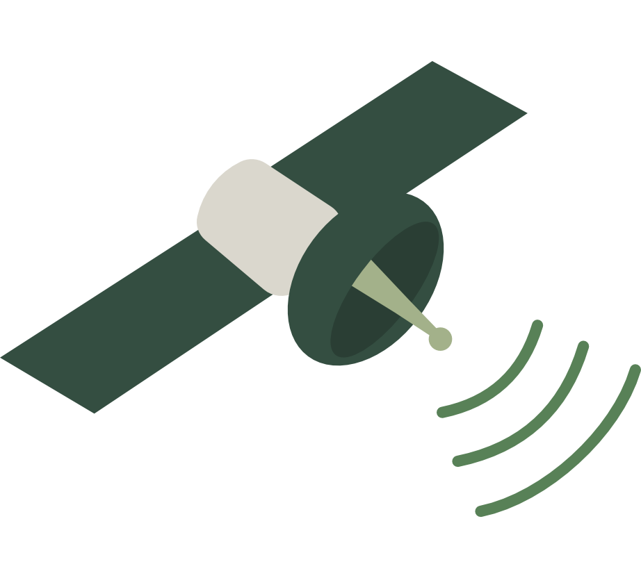
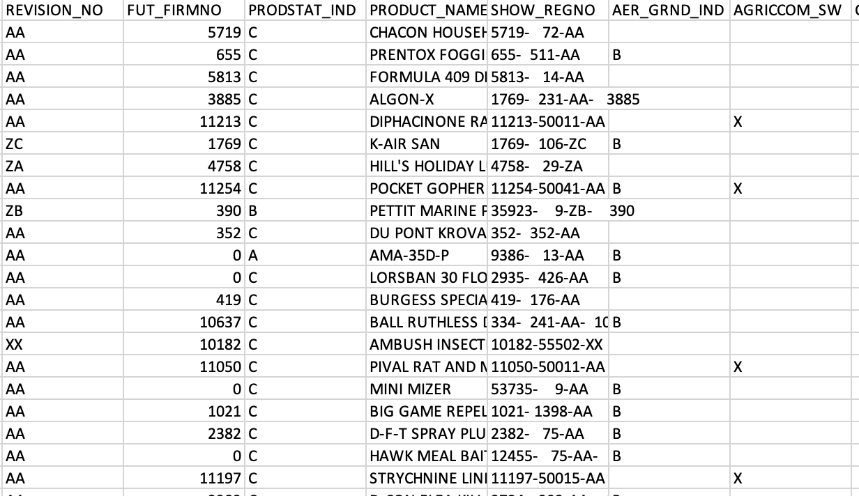
Using GPS, drone, and satellite we can help map your land.

We will add and style any layer at our disposal. Great styling helps convey maps better and we strive to accomplish that.

We'll export projects however you would like. We are huge fans of geoPDFs since they are easy to share while maintaining geo-location. We can also share an organized project with all layers for future reference or use.

